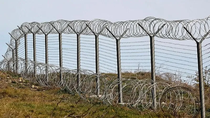
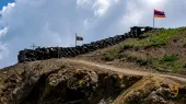
Azerbaijan has expanded and strengthened its military position in the territory of Armenia.
05-09-2026 12:03 Armenia Politics
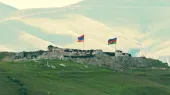
Sputnik․ The discussion is about an Azerbaijani military position in Syunik, which was established after the advance of Azerbaijani forces in 2021.
Davit Galstyan: Azerbaijan has expanded and strengthened its base deep within Armenian territory. This is evidenced by satellite images studied by Sputnik Armenia.
The discussion pertains to the Azerbaijani military base located in Syunik after the 2021 incursion.
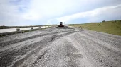
Sputnik Armenia has specifically examined satellite images from May and July 2025, and comparing them reveals significant changes: roads have expanded, a network of trenches has been dug, and new fortifications have been constructed in these two months. The July images show that the work is ongoing.
Engineering works of the Azerbaijani Armed Forces in the occupied territory of Armenia
(Above - screenshot of the Esri map as of May 29, 2025)
(Below - screenshot of the Google Maps as of July 20, 2025) - Sputnik Armenia, 1920, 04.09.2026
It should be noted that within the framework of delimitation, Armenia and Azerbaijan have agreed to base their borders on the boundaries of the union republics at the time of the collapse of the USSR. Based on Soviet maps, approximately 12 km in Tavush was already agreed upon in 2024.
However, a comparison of Google and Soviet Armed Forces maps from 1974 reveals that this Azerbaijani military position is located within Armenian territory, about 3 km from the border.
Accordingly, in the case of further delimitation based on Soviet maps, Armenia's sovereignty over that area will not raise any questions.
Notably, the fundamental principles of delimitation were agreed upon by the parties as early as May 2024, but this did not prevent Azerbaijan from significantly strengthening this position in 2025.
It is important to note that this is one of the "narrow" sections of Armenian territory, with the distance between Armenia's borders being only 26-27 km.
This is not the only case of Azerbaijan strengthening its position in Armenian territory. Similar actions have been taken by Azerbaijan in areas located about 5-6 km to the southeast.
Recall that on May 15, 2024, the ninth meeting of the delimitation commissions of the two countries took place at the border, chaired by the Deputy Prime Ministers of Armenia and Azerbaijan, Mher Grigoryan and Shahin Mustafayev. At that time, the protocol for the delimitation description was agreed upon for the sections of Baghanis (RA) – Baghanis Ayrum (NKR), Voskepar (RA) – Asha Askipara (NKR), Kiranц (RA) – Kheyrumli (NKR), and Berkaber (RA) – Kyzyl Hacili (NKR) according to the 1976 topographic map of the Soviet Armed Forces, which included the most accurate adjustments made in 1979.
On January 16, 2025, as a result of a new meeting of the commissions led by the Deputy Prime Ministers of Armenia and Azerbaijan, Mher Grigoryan and Shahin Mustafayev, the parties determined a new section for delimitation, agreeing to start the state border delimitation work from the northern section, at the junction point of the borders of Armenia, Azerbaijan, and Georgia, and then move southward until reaching the border between Armenia and Azerbaijan with Iran. However, no practical steps have been taken in that direction so far.
* This text was automatically translated by Artificial Intelligence (AI).


 ENGLISH